Blog

Archive for the ‘satellites’ category: Page 133

Jan 29, 2020

Two satellites could hit each other Wednesday — scientists call it ‘one of the most dangerous possible collisions’

Posted by in category: satellites

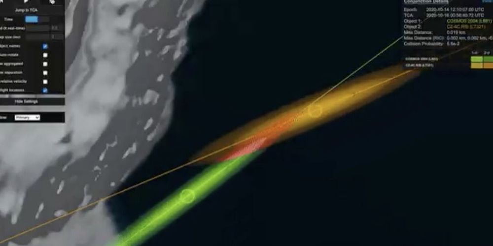
According to NASA, in order for a satellite to stay in orbit with the Earth, the pull of gravity must be balanced with the object’s speed. As such, the two satellites on course for collision are travelling at an extremely fast relative velocity of 14.7 kilometres per second.

“They’re going to be colliding at an incredibly high speed. And, at that speed, it’s going to probably cause the smaller satellite to break up completely into smaller fragments. And each of those fragments becomes a piece of space debris in its own right,” Gorman told ScienceAlert.

The NASA/NIVR IRAS satellite and the NRO/USN POPPY 5B satellite (aka GGSE 4) are predicted to make a close approach on Wednesday. POPPY 5B has 18-metre-long gravity gradient booms so a 15-to-30 metre predicted miss distance is alarming

Continue reading “Two satellites could hit each other Wednesday — scientists call it ‘one of the most dangerous possible collisions’” »

Jan 28, 2020

Emergency disposal maneuver okayed for satellite at risk of exploding

Posted by in category: satellites

DirecTV has been granted permission by the US Federal Communications Commission (FCC) to send a damaged communications satellite in danger of exploding into an emergency disposal trajectory. The Boeing-built Spaceway-1 direct-broadcast satellite suffered a “major anomaly” last month that caused severe thermal damage to its batteries and must now be moved to an orbit where it will not pose a hazard to other spacecraft.

Orbiting space debris is a major and growing hazard and there has been a great deal of effort in recent years to both clean up dead satellites and to minimize the production of more debris. This not only includes the building of tougher spacecraft that won’t shed bits and pieces but also making sure that damaged satellites are properly disposed of before they become a threat.

According to documents filed by DirecTV with the FCC, the 13,400-lb (6,080-kg) Spaceway-1, which is in a geosynchronous orbit 35,800 km (22,200 mi) above the Earth’s equator, was damaged by an unspecified event in December 2019. Telemetry from the satellite was examined by Boeing engineers who concluded that the batteries on the 702-model satellite had suffered significant and irreversible damage.

Jan 27, 2020

ESA’s Galileo satnav system can now reply to SOS signals

Posted by in categories: military, mobile phones, satellites

Europe’s Galileo satellite navigation system can now not only receive, relay, and locate distress beacon signals, it can also respond to the SOS, sending back an acknowledgement to those awaiting rescue that their location and call for help has been received and search and rescue services are responding. The new function became operational during the 12th European Space Conference in Brussels, which ran from January 21 to 22, 2020.

Global Navigation Satellite Systems (GNSS) have come a long way since the US Military introduced the first, Transit, in the 1960s. The technology not only revolutionized navigation to the point where anyone with a smartphone can pinpoint their location with the touch of an icon, but it’s also having an increasing impact as more functions are added to that of basic navigation.

Continue reading “ESA’s Galileo satnav system can now reply to SOS signals” »

Jan 26, 2020

Timeline for Falcon 9 launch of Starlink satellites

Posted by in category: satellites

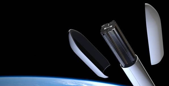
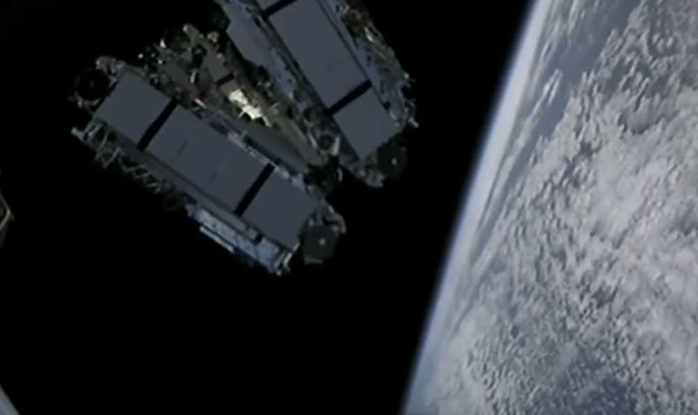
Follow the key events of the Falcon 9 rocket’s ascent to orbit with 60 satellites for SpaceX’s Starlink broadband network.

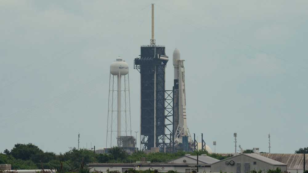
The 229-foot-tall (70-meter) rocket is scheduled to lift off Monday at 9:49 a.m. EST (1449 GMT) from the Complex 40 launch pad at Cape Canaveral Air Force Station in Florida.

The Falcon 9 will head northeast from Cape Canaveral over the Atlantic Ocean to place the 60 Starlink satellites into a circular orbit around 180 miles (290 kilometers) above Earth. The satellites will use their ion thrusters to maneuver into their higher orbit for testing, before finally proceeding to an operational orbit at an altitude of approximately 341 miles (550 kilometers).

Jan 26, 2020

SpaceX is launching ‘dark satellites’ to stop its Starlink project from wreaking havoc with astronomical research. Astronomers are skeptical

Posted by in categories: Elon Musk, satellites

Such a simple solution. Paint them black.


Elon Musk has promised SpaceX satellites won’t interfere with scientific discoveries — but scientists aren’t so sure.

Jan 25, 2020

SpaceX’s license to launch hundreds of internet satellites may have violated the law, experts say. Astronomers could sue the FCC

Posted by in categories: internet, law, satellites

SpaceX is planning a mega-constellation of thousands of internet satellites called Starlink. But the FCC didn’t perform an environmental review.

Jan 24, 2020

A TV satellite is about to explode following ‘irreversible’ battery damage

Posted by in categories: electronics, satellites

A Boeing-made TV satellite is being hastily moved into ‘graveyard orbit’ following a devastating ‘anomaly’ that turned its batteries into bombs.

Jan 23, 2020

DirecTV fears explosion risk from satellite with damaged battery

Posted by in categories: energy, satellites

WASHINGTON — DirecTV is racing to move its Spaceway-1 satellite out of the geostationary arc after the 15-year-old satellite suffered a crippling battery malfunction that the company fears could cause it to explode.

DirecTV told the U.S. Federal Communications Commission that it does not have time to deplete the remaining fuel on Spaceway-1 before disposing of it by boosting it 300 kilometers above the geostationary arc, a region home to most of the world’s large communications satellites.

Spaceway-1 is a Boeing-built High Power 702 model satellite that was designed to last 12 years. Launched in 2005 on a Sea Launch Zenit 3SL rocket, the 6,080-kilogram satellite originally provided high-definition television direct broadcasting services from its orbital slot at 102.8 degrees west longitude. More recently, Spaceway-1 was being used to backup Ka-band capacity over Alaska.

Jan 21, 2020

Startup Skylo seeks to connect millions of devices, vehicles, vessels via satellite

Posted by in categories: innovation, satellites

SAN FRANCISCO – Startup Skylo emerged from stealth mode Jan. 21 with $116 million in the bank and plans to connect devices by transferring data over existing geostationary communications satellites.

“The key challenge we wanted to address was how data was going to be moved from machines and sensors outside of the areas where traditionally connectivity has existed,” Parthsarathi “Parth” Trivedi, Skylo co-founder and CEO, told SpaceNews. “If we could lower the cost of providing ubiquitous, affordable and reliable connectivity, there would be a phenomenal number of applications.”

Skylo raised $13 million in a Series A investment round led by DCM Ventures and Innovation Endeavors with participation by Boeing HorizonX and Moore Strategic Ventures. In its latest Series B round led by SoftBank with participation by all the firm’s previous investors, Skylo raised $103 million, according to the firm’s Jan. 21 news release.

Jan 21, 2020

Capella Space reveals new satellite design for real-time control of high-resolution Earth imaging

Posted by in categories: satellites, sustainability

Satellite and Earth observation startup Capella Space has unveiled a new design for its satellite technology, which improves upon its existing testbed hardware platform to deliver high-resolution imaging capable of providing detail at less than 0.5 meters (1.6 feet). Its new satellite, code-named “Sequoia,” also will be able to provide real-time tasking, meaning Capella’s clients will be able to get imaging from these satellites of a desired area basically on demand.

Capella’s satellites are “synthetic aperture radar” (SAR for short) imaging satellites, which means they’re able to provide 2D images of the Earth’s surface even through cloud cover, or when the area being imaged is on the night side of the planet. SAR imaging resolution is typically much higher than the 0.5-meter range that Capella’s new design will enable — and it’s especially challenging to get that kind of performance from small satellites, which is what Sequoia will be.

Continue reading “Capella Space reveals new satellite design for real-time control of high-resolution Earth imaging” »