Toggle light / dark theme

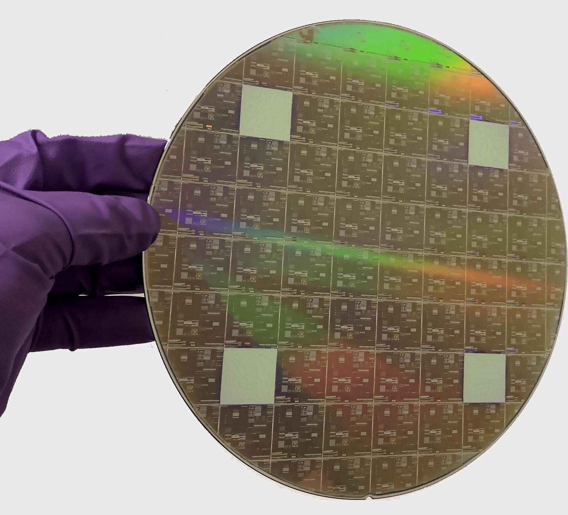
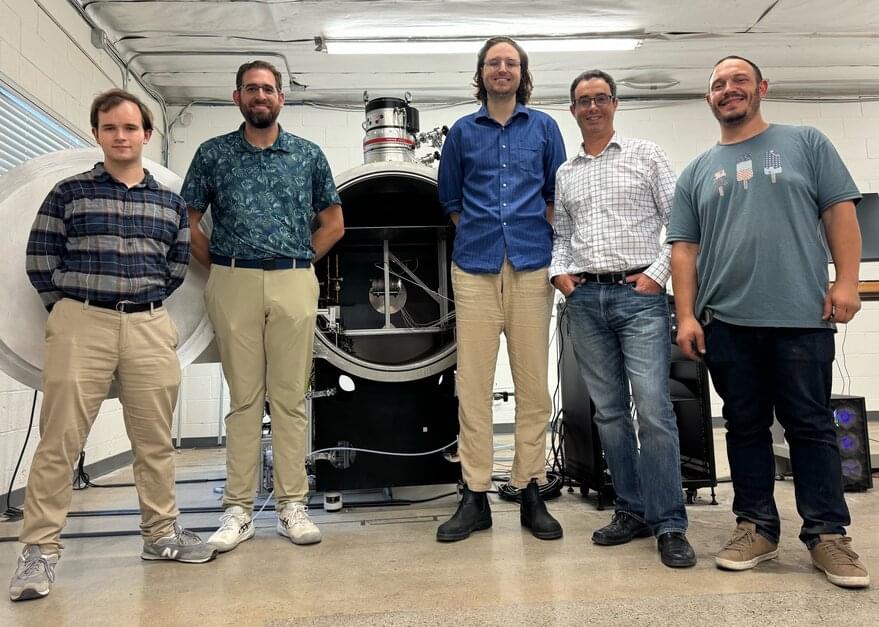
The Los Alamos National Laboratory has introduced the “Spacecraft Speedometer,” a novel technology for tracking satellites in low Earth orbit. This compact, resource-efficient device can precisely measure a satellite’s speed as it orbits the planet. Researchers believe it could also serve as a tracking solution for deep-space missions.

Designed to provide onboard, real-time velocity measurements, the Spacecraft Speedometer enables space agencies and commercial operators to predict satellite positions and execute orbital maneuvers to avoid collisions with other satellites or space debris.

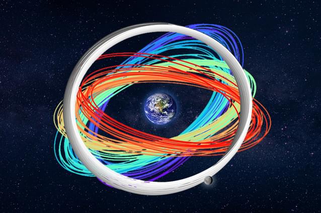
Los Alamos developed the system in response to increasing congestion in LEO, where the number of active satellites surged from 2,287 in 2019 to over 10,000 in 2024. With the rise of mega-constellations, traffic management challenges are expected to grow even more severe.

Japan’s fledgling space defense sector is taking its cues from the US Space Development Agency, which is pursuing a novel concept based on constellations of small satellites and maximum use of existing commercial technologies. Space policy researcher Umeda Kota discusses the challenges facing Japan as it embraces the SDA’s “proliferated architecture” for military communications, missile detection and tracking, and other purposes.

Discovering new deposits of critical and rare earth minerals is paramount to delivering global net-zero ambitions. However, finding new ore bodies is becoming more challenging due to increasing costs and geopolitical tensions. What is more, much of the low-hanging fruit, so to speak, has already been exploited.

Could technological advances help broaden the search and speed up the process? Dr Bryony Richards, a senior research scientist with the Energy & Geoscience Institute at the University of Utah in the US, believes so.

Richards and her colleagues are incorporating NASA’s and Japan’s global Advanced Spaceborne Thermal Emission and Reflection Radiometer (ASTER) imagery with that of new satellite data, advances in computing power and AI. With this approach, they are developing a comprehensive first-of-a-kind method to uncover the ‘fingerprints’ of mineral deposits that could eventually provide a more cost and time-effective way of mapping minerals in remote areas.


Researchers in Utah are combining satellites, hyperspectral imaging and AI to discover mineral deposits in remote locations.

NASA’s upcoming EZIE mission will use three small satellites to study electrojets — powerful electrical currents in the upper atmosphere linked to auroras. These mysterious currents influence geomagnetic storms that can disrupt satellites, power grids, and communication systems. By mapping how electrojets evolve, EZIE will improve space weather predictions, helping to safeguard modern technology.

Unlocking New Data for Earth Observation

Reliable data is one of the most valuable tools in scientific research. The more data sources scientists can access, the more accurate their findings become. Until recently, researchers in navigation and satellite geodesy saw a major missed opportunity — while thousands of satellites in mega-constellations orbited Earth for communication purposes, their signals couldn’t be used for positioning or Earth observation.

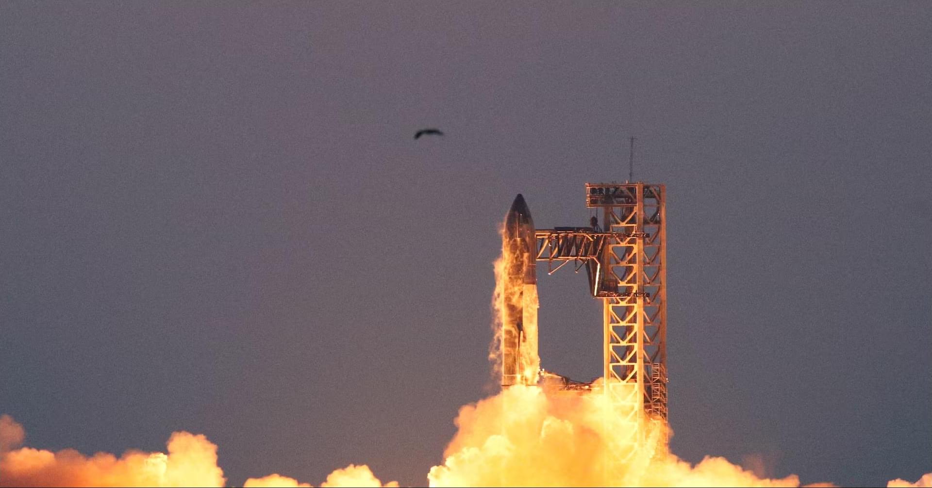
TAMPA, Fla. — Star Catcher Industries, a startup designing spacecraft to beam solar energy to other satellites in low Earth orbit, has secured funding from Florida’s economic development agency to demonstrate the technology at a former Space Shuttle landing site.

Space Florida is providing a $2 million financial package for the one-year-old venture, Star Catcher CEO Andrew Rush told SpaceNews March 7, with most of the funds supporting tests this summer from Space Florida’s Launch and Landing Facility at the Cape — one of the longest runways in the world.

Rush said Star Catcher plans to use the facility to demonstrate its ability to beam hundreds of watts of energy to multiple simulated satellites simultaneously from more than a kilometer away, marking a critical proof point for the Jacksonville, Florida-based startup’s technology.

Imagine a large city recovering from a devastating hurricane. Roads are flooded, the power is down, and local authorities are overwhelmed. Emergency responders are doing their best, but the chaos is massive.

AI-controlled drones survey the damage from above, while process and data from sensors on the ground and air to identify which neighborhoods are most vulnerable.

Meanwhile, AI-equipped robots are deployed to deliver food, water and into areas that human responders can’t reach. Emergency teams, guided and coordinated by AI and the insights it produces, are able to prioritize their efforts, sending rescue squads where they’re needed most.

NASA and the Italian Space Agency made history on March 3 when the Lunar GNSS Receiver Experiment (LuGRE) became the first technology demonstration to acquire and track Earth-based navigation signals on the moon’s surface.

The LuGRE payload’s success in lunar orbit and on the surface indicates that signals from the GNSS (Global Navigation Satellite System) can be received and tracked at the moon. These results mean NASA’s Artemis missions, or other exploration missions, could benefit from these signals to accurately and autonomously determine their position, velocity, and time. This represents a steppingstone to advanced systems and services for the moon and Mars.

“On Earth we can use GNSS signals to navigate in everything from smartphones to airplanes,” said Kevin Coggins, deputy associate administrator for NASA’s SCaN (Space Communications and Navigation) Program. “Now, LuGRE shows us that we can successfully acquire and track GNSS signals at the moon. This is a very exciting discovery for lunar navigation, and we hope to leverage this capability for future missions.”

Back in 1971, a couple of British astronomers predicted the existence of a black hole at the center of our galaxy. And in 1974, other astronomers found it, naming it Sagittarius A*.

Since then, astronomers have discovered that a similar “supermassive black hole” sits at the center of almost every other large galaxy. In 2019, they took the first image of a supermassive black hole. Today, these exotic objects are a fundamental part of our understanding of how galaxies form and evolve.

But what of smaller astronomical bodies, like the Large Magellanic Cloud, a dwarf satellite galaxy that is expected to collide with the Milky Way in 2.4 billion years? Nobody is quite sure whether clouds like this might also house supermassive black holes.