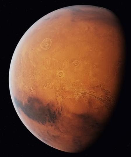
Astronomers have been observing and studying Mars for centuries, but the systematic mapping of Mars began in the 19th century.
Maps have played an essential role in helping us better comprehend our home planet. These tools visually represent the Earth’s surface features, allowing us to navigate, study geography, monitor changes, and conduct scientific studies.
As space organizations prepare to make humanity an interplanetary species, it is critical to sketch and construct a Mars map for better exploration and possible habitation.
