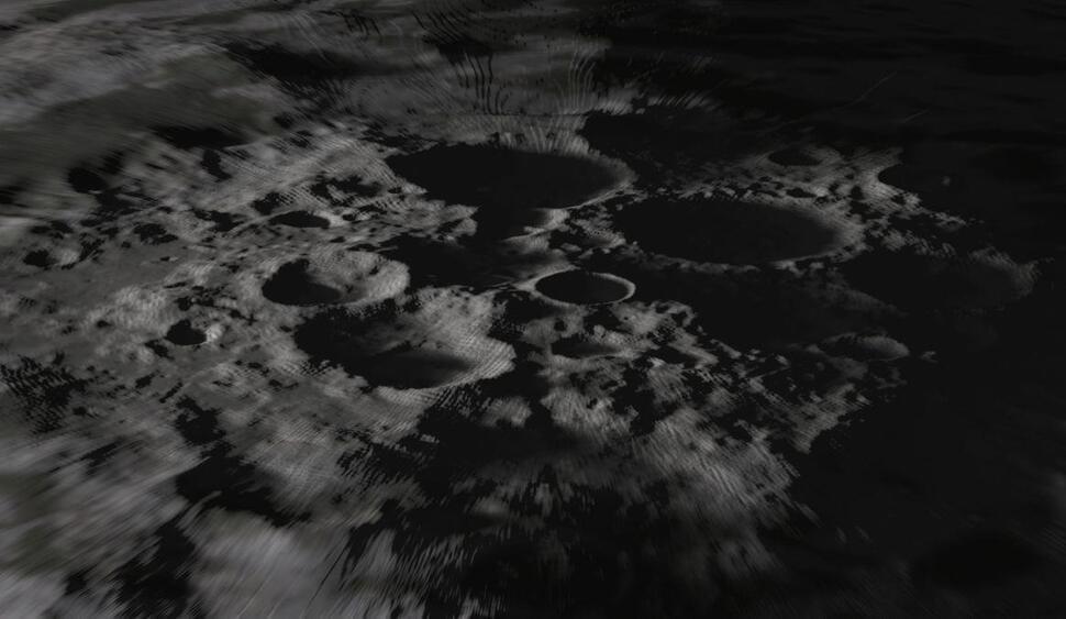
Researchers find mathematical trick to combining planetary surface data.
Researchers have discovered a method for making high-resolution maps of planetary surfaces like the moon’s by combining available imagery and topography data.
Mapping the complex and diverse surface of a world like the moon in detailed resolution is challenging because laser altimeters, which measure changes in altitudes, operate at much lower resolution than cameras. And although photographs offer a sense of surface features, it’s difficult to translate images into specific heights and depths.
