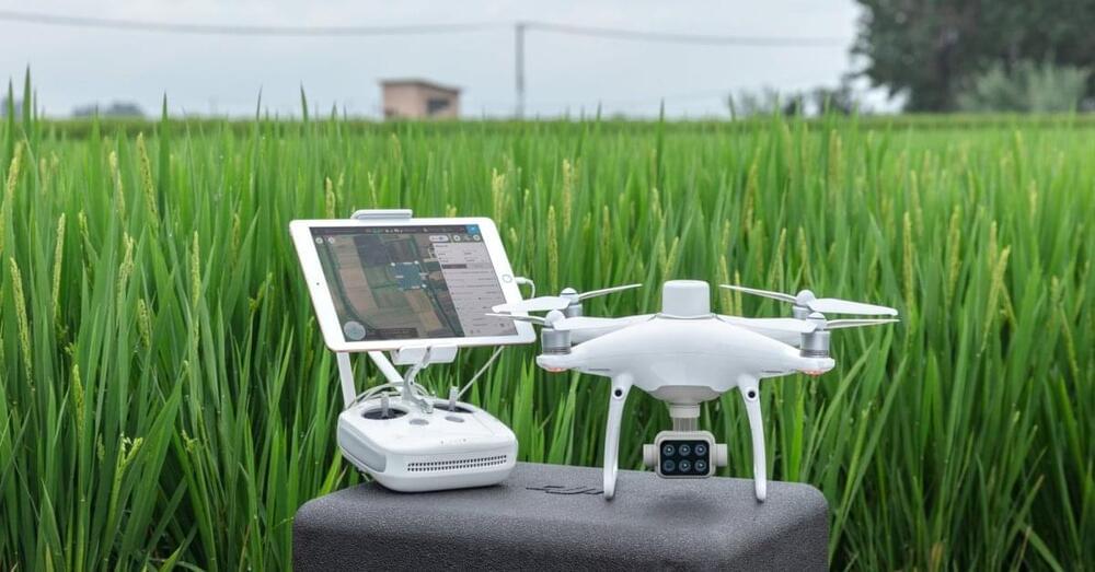
Designed for precision agriculture and environmental management use cases, the P4 Multispectral drone combines data from six separate sensors to measure the health of crops. It can be used to monitor everything from individual plants to entire fields, as well as weeds, insects, and a variety of soil conditions.
The P4 Multispectral drone is compatible with standard industry workflows including flight programming, mapping, and analytics software from DJI and other leading providers. Using the DJI GS Pro application, you can create automated and repeatable missions including flight planning, mission execution, and flight data management. Data collected can be easily imported into DJI Terra or a suite of third-party software including Pix4D Mapper and DroneDeploy, for analysis and to generate additional vegetation index maps.
The drone was first announced in 2019.
