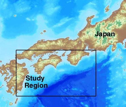
Geoscience researchers at the University of Massachusetts Amherst, Smith College and the Japanese Agency for Marine-Earth Science and Technology this week unveiled new, GPS-based methods for modeling earthquake-induced tsunamis for southeast Japan along the Nankai Trough. A Nankai-induced tsunami is likely to hit there in the next few decades, says lead author Hannah Baranes at UMass Amherst, and has the potential to displace four times the number of people affected by the massive Tohoku tsunami of 2011.
She and her doctoral advisor Jonathan Woodruff, with Smith College professor Jack Loveless and Mamoru Hyodo at the Japanese agency report details in the current Geophysical Research Letters. Baranes says, “We hope our work will open the door for applying similar techniques elsewhere in the world.”
As she explains, after the unexpectedly devastating 2011 quake and tsunami, Japan’s government called for hazard-assessment research to define the nation’s worst-case scenarios for earthquakes and tsunamis. Baranes notes, “The government guideline has focused attention on the Nankai Trough. It’s a fault offshore of southern Japan that is predicted to generate a magnitude 8 to 9 earthquake within the next few decades.”


Comments are closed.