You can see plastic waste in our oceans from space 😳
Via NowThis
You can see plastic waste in our oceans from space 😳
Via NowThis

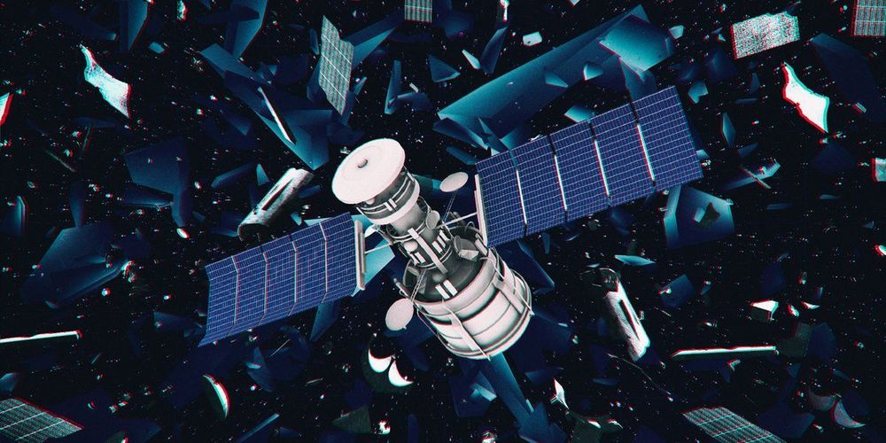
The European Space Agency (ESA) is launching the first mission to remove a piece of space debris, set for 2025. The ClearSpace-1 mission will collect a piece of the Vespa (Vega Secondary Payload Adapter) second stage which was left by an ESA mission in 2013, which weighs approximately 100 grams and is the size of a small satellite.
The ESA selected a Swiss startup called ClearSpace to lead the mission. “This is the right time for such a mission,” Luc Piguet, founder and CEO of ClearSpace, said in a statement. “The space debris issue is more pressing than ever before. Today we have nearly 2000 live satellites in space and more than 3000 failed ones. And in the coming years, the number of satellites will increase by an order of magnitude, with multiple mega-constellations made up of hundreds or even thousands of satellites planned for low Earth orbit to deliver wide-coverage, low-latency telecommunications and monitoring services. The need is clear for a ‘tow truck’ to remove failed satellites from this highly trafficked region.”
The problem of space debris is becoming increasingly urgent, with more and more potentially hazardous objects in orbit around the planet, some at extremely high speeds. Debris can pose a risk to manned missions and the International Space Station as well as satellites and other unmanned missions.
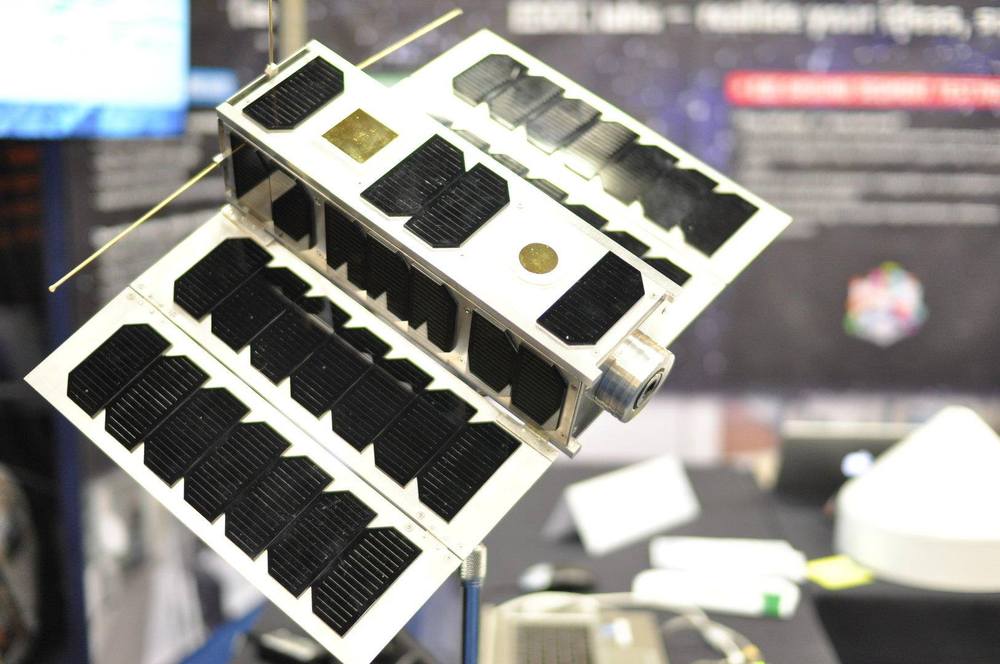
Calling all radio amateurs! We’re challenging anyone with amateur radio equipment to catch the first signals from #OPS –SAT, ESA’s brand new space software lab. On 17 December, OPS-SAT will be launched into space with ESA’s #Cheops exoplanet satellite.
Once launched, the satellite will deploy its solar panels and ultra-high frequency antenna, and then start to send signals back home. Could you be the first on Earth to catch them? ESA’s mission control team in Darmstadt are asking for your help to find the fledgling #CubeSat 👉 http://www.esa.int/Enabling_Support/Operations/Calling_radio…nd_OPS-SAT

China launched the Gaofen-7 imaging satellite in November, and the country has just shared the first of its high-resolution, 3D shots. The satellite is sensitive enough to height that it should be able to spot a single person from 500 kilometers up.
Gaofen-7 is the latest in a planned series of 14 satellites intended to overhaul China’s orbital imaging capabilities. Companies like Planet are lofting hundreds of satellites to provide terrestrial businesses with up-to-date imagery, so it’s natural that China, among other countries, would want to have their own.
Already the Gaofen project has led to a huge reduction in reliance on foreign sources for this critical data, which as frictions in other areas of technology have shown, may not always be possible to rely on.
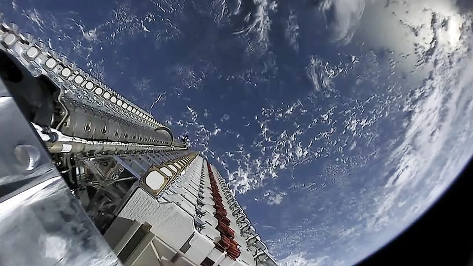
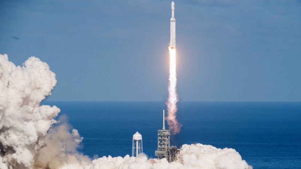
SpaceX has said it is taking measures to tackle some of the concerns raised by astronomers about its Starlink constellation, as it gears up to launch more than a thousand satellites in the next 12 months.
The company’s Starlink mega constellation, which will add up to 42,000 satellites to orbit (only 2,000 active satellites in total orbit Earth today) to beam high-speed internet around the globe, has been taking shape in 2019. The company launched its first 60 satellites in May, followed by a second launch in November.
A third launch is planned in late December, and a fourth in January – with 24 in total planned by the end of 2020. The company hopes to launch 60 Starlink satellites roughly once every two weeks, adding more than 1,500 satellites to orbit by the end of next year alone.

Trusted Business Insights presents the Latest Study on Nanosatellite and Microsatellite Market 2019–2025. The report contains market predictions related to market size, revenue, production, CAGR, Consumption, gross margin, price, and other substantial factors. While emphasizing the key driving and restraining forces for this market, the report also offers a complete study of the future trends and developments of the market. It also examines the role of the leading market players involved in the industry including their corporate overview, financial summary, and SWOT analysis.
Get Sample Copy of this Report @ Global Nanosatellite and Microsatellite Market, Sector / Industry Report & Analysis, 2025
Abstract, snapshot, market analysis & market definition: global nanosatellite and microsatellite market.
The case for creating a United States Space Force is compelling. The United States military’s ability to wage war has become increasingly reliant on satellites. Navigation, reconnaissance, and communications are all handled by space assets. The world economy has become dependent on space satellites. The Internet consists of servers throughout the world linked by satellite constellations. Knock out those satellites and commercial companies’ ability to do business becomes seriously compromised. The space version of Pearl Harbor could reduce the United States to developing-world status in a single blow.
China and Russia, the main enemies of the United States in a potential conflict, are busily developing weapons systems to destroy America’s space infrastructure. Indeed, remote jamming may well do the job without resorting to a direct strike. The potential for jamming is a reason why Pence mentioned the development of jam-proof satellites in his speech. In all, Pence proposed an investment of $8 billion in new space systems during the next five years. The money is likely to be just a down payment for creating a new military branch that would achieve President Trump’s dream of achieving American space dominance.
The idea of a United States Space Force brings science fiction visions of American military personnel doing battle against an enemy in space. Indeed, the joke that has become common on social media is that President Trump is proposing to create nothing less than Star Fleet, the organization made famous in the Star Trek franchise of movies and TV shows.
COLORADO SPRINGS, CO. — It’s not easy to get into the GPS room. A security cocoon typical of U.S. military installations protects Schriever Air Force Base in Colorado, but the windowless home of the 2nd Space Operations Squadron (2SOPS) lies within the base’s “restricted access area.” A gatehouse, extra vehicle barriers, armed guards, monitored communication channels, and a total ban on smartphones stand between the outside world and the place where the U.S. Air Force operates the GPS satellite constellation.
Inside you’ll find a hallway lined with keypad-controlled doors. Behind each is a room with 10-person teams who fly satellites. The rooms are staffed around the clock. The 2SOP squadron not only runs the constellation that provides global navigation and precise time data to civilian and military users.
“Whether it’s the public or our other military users, they tend to think of space as a magic box that you turn on and everything just works,” says 1st Lt. Morgan Herman, Assistant Weapons & Tactics Flight Commander. “They don’t always realize how actively we have to manage the constellation.”
As the number of satellites and space junk in orbit continues to increase, so do the chances of these human-made objects colliding with one another, potentially creating more debris that could threaten other healthy spacecraft. Now, a new tool shows just how crowded Earth orbit is by tracking space objects through their close calls every couple of seconds.
Called the “Conjunction Streaming Service Demo,” the graph tool illustrates in real time the sheer number of space objects — out of an assortment of 1,500 items in low Earth orbit — that get uncomfortably close to one another in a period of 20 minutes. While the X-axis keeps track of the time, the Y-axis shows the short distance between two approaching space objects, ranging from five kilometers to the dreaded zero kilometers. On the graph is a series of arcs demonstrating when two pieces of debris rapidly move toward one another, make their closest approach, and then speed away.