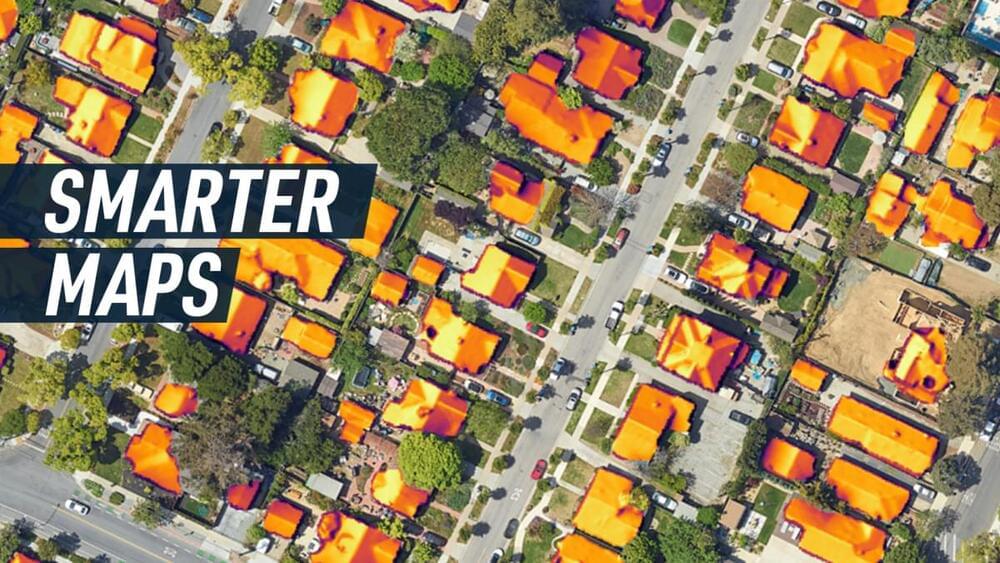
Google’s Green Light initiative uses AI and Google Maps to optimize traffic lights and reduce emissions.
Traffic jams are not only frustrating but also harmful to the environment. According to a study, road transportation accounts for a large share of global and urban greenhouse gas emissions, and the situation is worse at city intersections, where pollution can be 29 times higher than on open roads. The main reason is vehicles’ frequent stopping and starting, which consumes more fuel and emits more carbon dioxide.
But what if we could use artificial intelligence (AI) to optimize traffic lights and reduce these emissions? That is the idea behind Green Light, a Google Research initiative that… More.
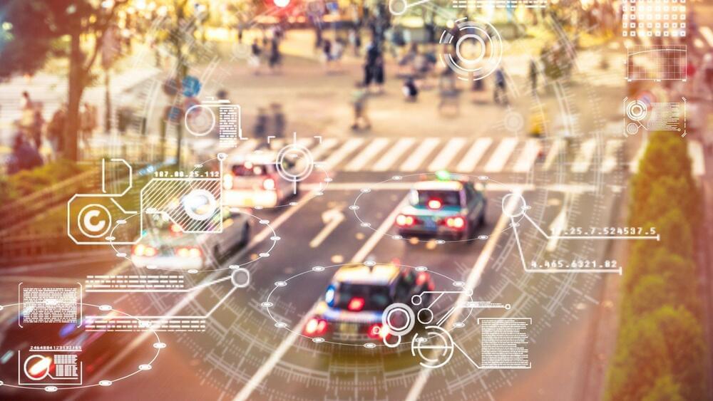
XH4D/iStock.